Basic Services for Architects, Contractors, and Design Teams
Fast Turnaround Post-Visit Options (24 to 72 hours)
From LiDAR scans to CAD-ready files, deliverables cover everything needed to design, collaborate, and build. All in just one visit.
Get a head start on architectural and construction floor plans and design drawings.
Increase productivity, save time, and reduce costs
Virtual tours and floor plans are included with all options. Choose the right deliverables for your project. Use the comprehensive 3D walkthroughs to communicate with your partners and vendors virtually Walk through a real-world space to view conditions and easily locate critical assets including MEP. Still photos for additional documentation are optional.
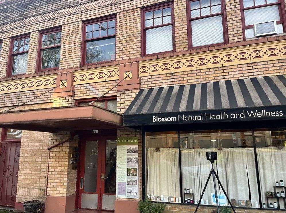
For sample non-customer deliverables of our basic services, see our case study from the Manchester Torpedo Warehouse.
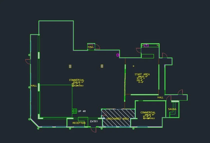
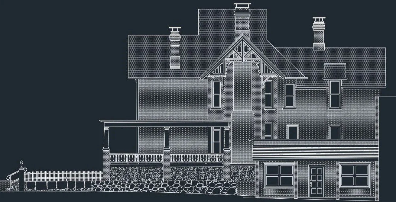
CAD Deliverables
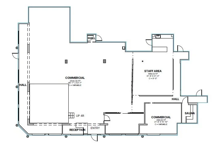
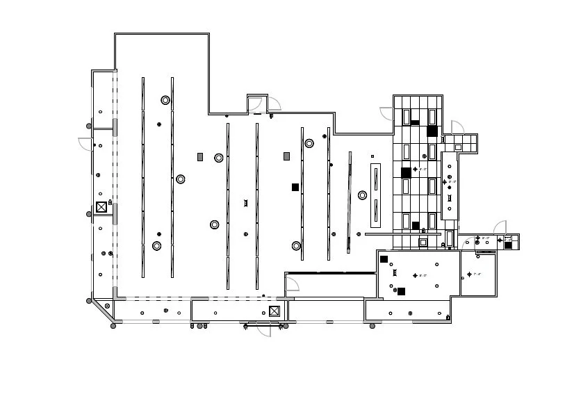
Floor plans (DWG)
Floor plans (DXF)
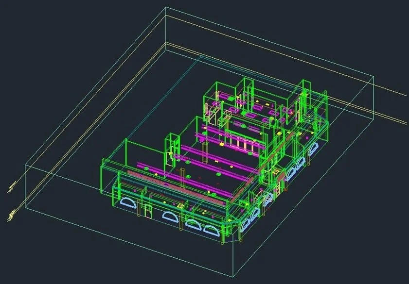
3D Model of Drafted Floors (also available in Revit format)
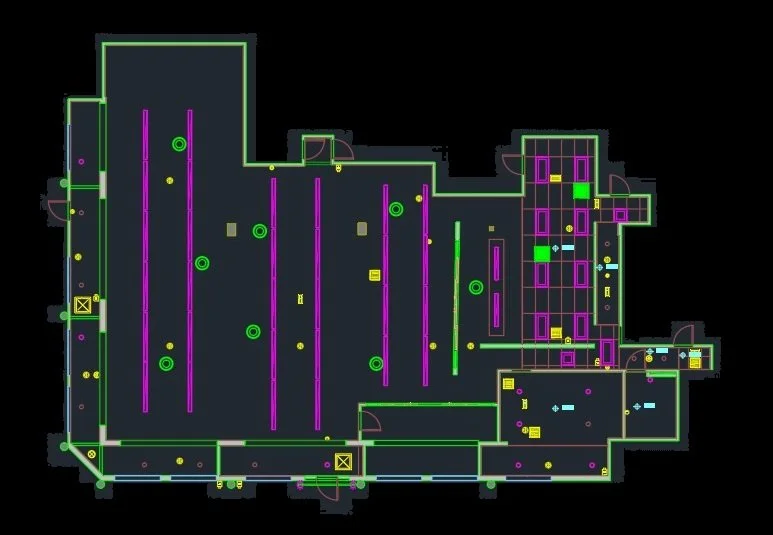
Reflected Ceiling Plan (DWG)
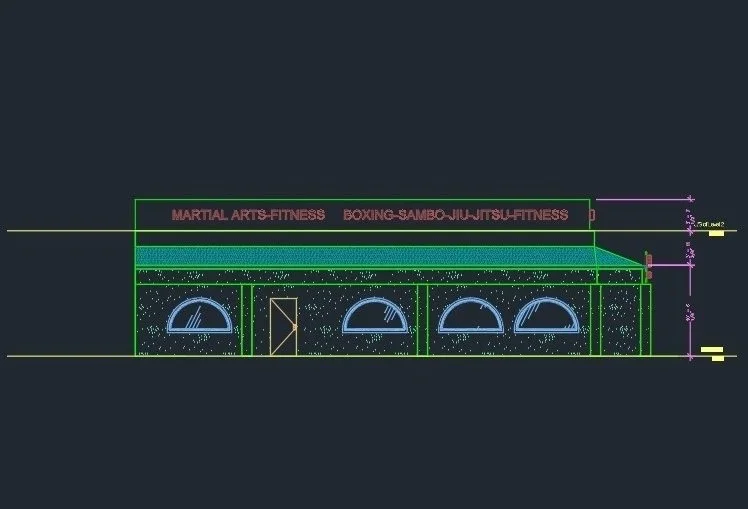
Exterior Elevations (DWG)

Roof Plans (DWG)
Deliverables in PDF format
Floor plans
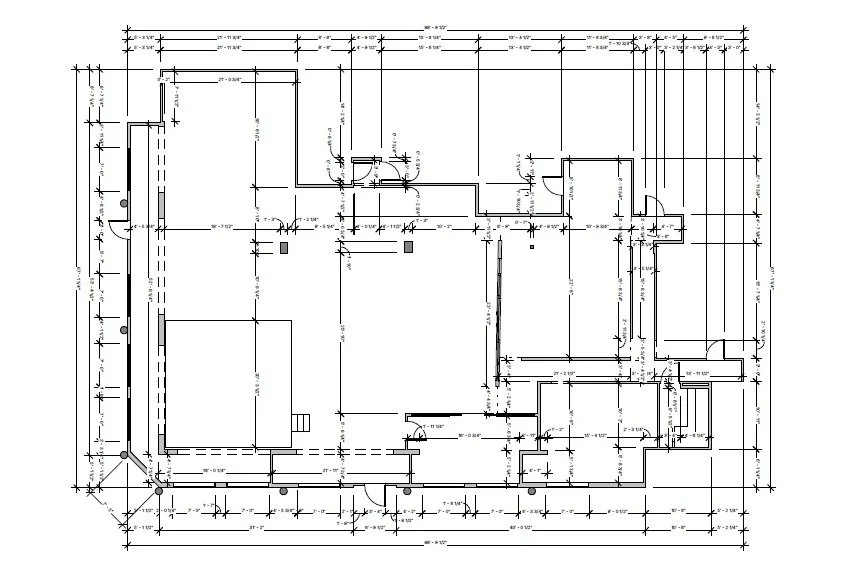
Dimension Plans
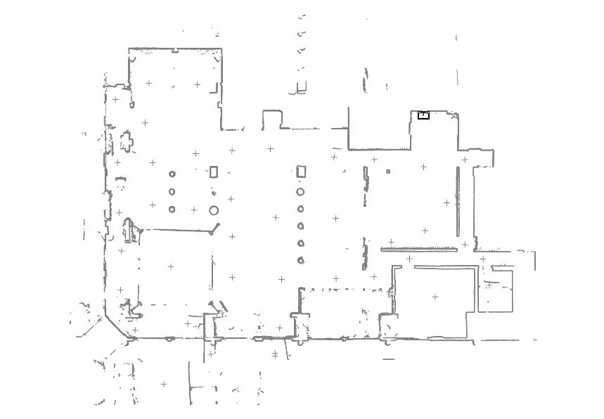
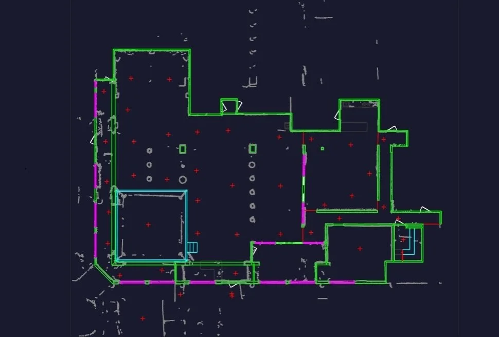
Floor Point Clouds
Reflected Ceiling Plans
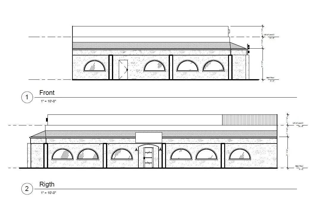
Elevations

Color Coded Floor plans
Advanced Services for Architects, Contractors, and Design Teams
We deliver construction-ready existing conditions datasets that plug directly into your Revit or CAD workflow.
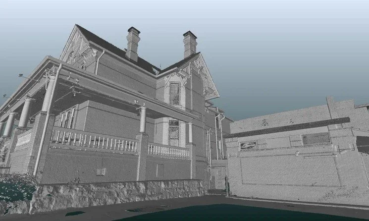
Our advanced services provide precise reality capture and as-built documentation in architecture, engineering, and more.
Dense 3D point clouds are produced for high-precisions modeling, complex geometry, and engineering analysis. A unified point cloud can be provided to teams for modeling in BIM.
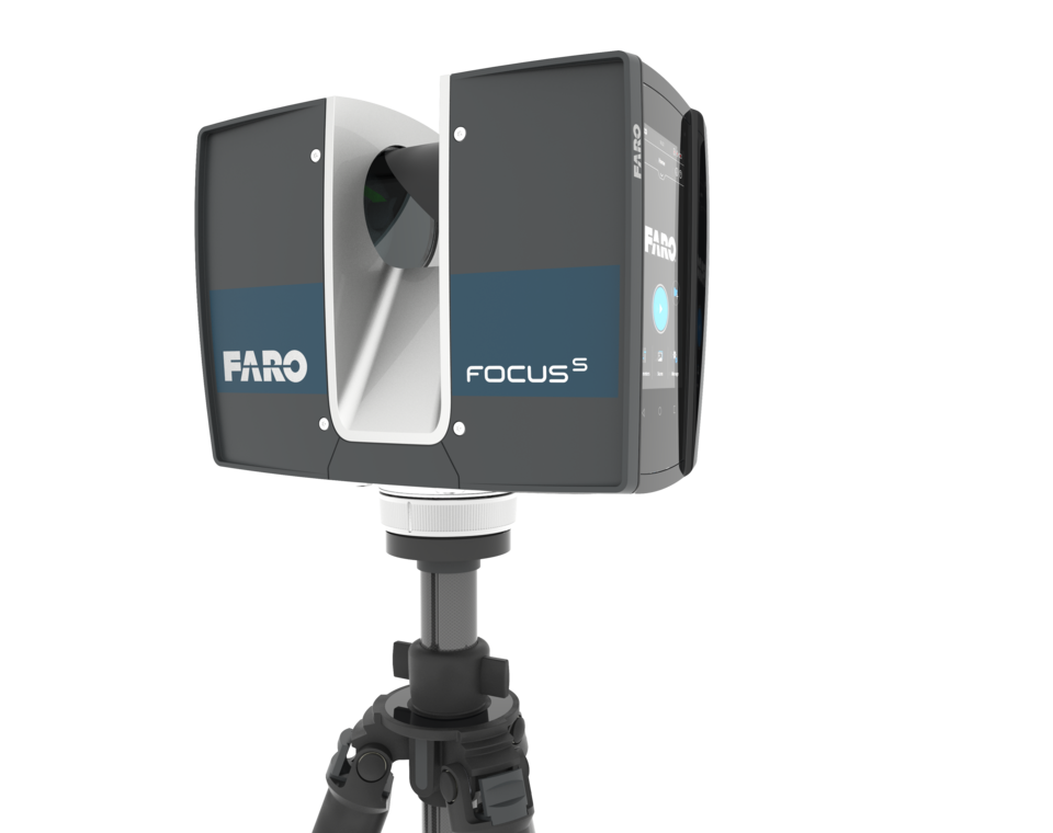
Our advanced services are provided via the use of the terrestrial laser scanner, the Faro S70, which has measurement accuracy of ±1 mm distance error, suitable for detailed measurements and digital twins
With the ability to capture thousands of measurements in each scan, our CAD floor plans and 3D models are precise and available in various formats to suit your needs.

We offer a quick and accurate way to document properties with 3D visualizations and generated drawings for Architects, Engineers and Construction professionals. Our services provide a head start on architectural and construction floor plans as well as as-build and design drawings.
Take 1000’s of measurements in seconds.
Non-intrusive: normal operations can be maintained while scanning.
Data is compatible with Autodesk products including Revit, ACAD, Recap, Civil3D, and Navisworks.
Share details and conditions of a project without site visits, making collaboration on large projects easier.
Planning for “what if” scenarios, new equipment, safety plans, and necessary upgrades and changes to the layout and configuration, etc.