
Digitizing the Physical World
3D Laser Scanning & Existing Conditions Documentation
Reality Capture for the Built and Maritime Environments
Ilios Remote Sensing captures the physical world and transforms existing conditions into accurate, actionable digital information for architects, engineers, contractors, shipyards, property owners, and facility managers. We provide two complementary levels of reality capture, selected according to the accuracy, complexity, deliverables, and budget of each project.
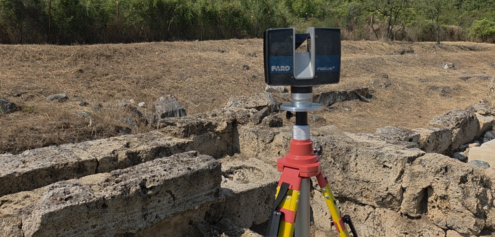
High-Precision 3D Laser Scanning
For projects where dimensional accuracy and complex geometry matter.
We capture complex structures, vessels, machinery, and existing conditions as dense, highly accurate 3D datasets for engineering, design, construction, fabrication, and documentation.
Using the FARO Focus S70 terrestrial laser scanner, Ilios captures millions of spatial measurements to create a precise digital record of the existing environment.
Deliverables can include registered point clouds, CAD drawings, existing-condition documentation, 3D models, dimensional analysis, and datasets for BIM, engineering, retrofit, and fabrication workflows.
When existing conditions are complex—or dimensional accuracy matters—terrestrial laser scanning provides the foundation for designing and building with confidence.

Rapid Property Documentation
Fast, cost-effective documentation of existing buildings in a single site visit.
Using iGUIDE, we rapidly capture an entire building in a single site visit, combining measured spatial data with comprehensive 360° visual documentation.
Deliverables can include interactive 3D walkthroughs, measured floor plans, DWG drawings, reflected ceiling plans, elevations, roof plans, PDFs, room measurements, 360° imagery, and Revit-compatible 3D models.
The result is more than a virtual tour: it is a measurable visual record that architects, contractors, owners, and consultants can revisit throughout the project.
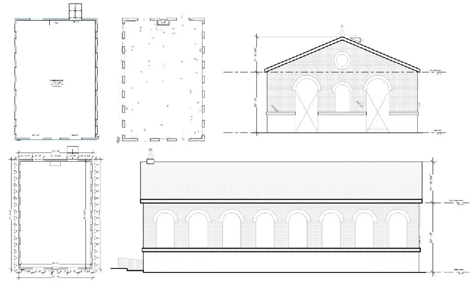

Reality Capture for Industry
From vessel retrofits to building renovations, Ilios provides accurate existing-condition data that helps teams measure, design, coordinate, fabricate, and document with confidence.
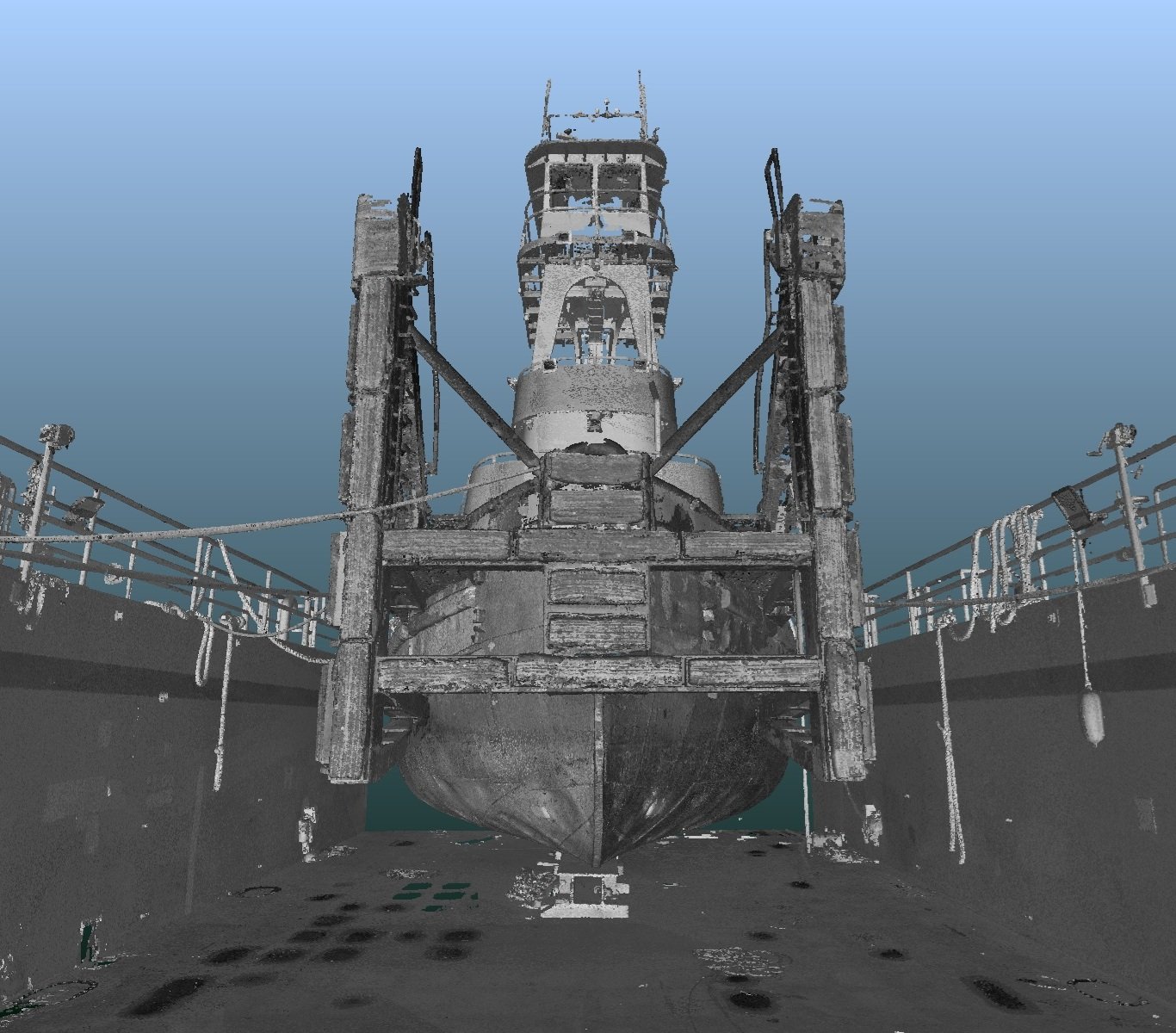
Maritime Services
Vessel documentation, machinery spaces, retrofit planning, dimensional verification, and off-site fabrication support.
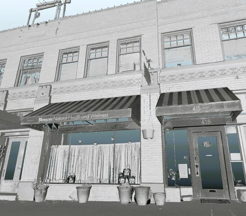
Architecture & Construction Services
Existing conditions, as-built documentation, CAD
and high-precision laser scanning
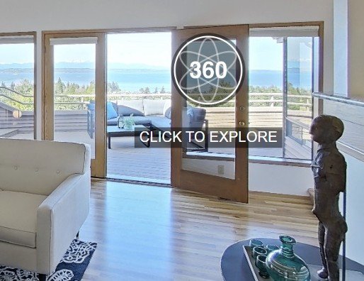
Market properties, reduce unnecessary showings, support ongoing property management, and create dated visual documentation of property condition.
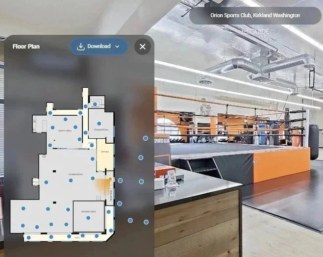
Turn physical spaces into interactive experiences with virtual access and information tags that help visitors explore, discover, and learn.

Interactive virtual tours, professional photography, floor plans, and strategic tagging that help buyers and tenants understand what makes a property valuable.
Tell us what you need to document. We'll recommend the appropriate capture method and deliverables based on your project's accuracy requirements, complexity, schedule, and budget.
Not sure which capture method your project requires?
Cultural Heritage & Non-Profit Support
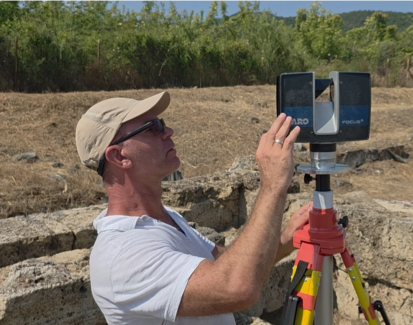
We apply the same professional reality-capture technologies and technical expertise used in our commercial projects to archaeology, museums, historic preservation, and scientific research.
Archaeological Documentation
High-precision 3D documentation of the UNESCO World Heritage Site of Aigai, the first capital of the Macedonian Kingdom
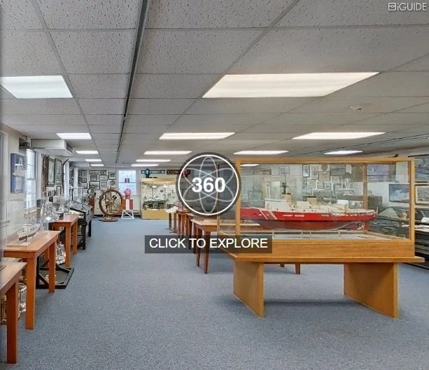
Museums & Historic Preservation
3D documentation, virtual access, measured floor plans, digital exhibits, and preservation of existing conditions.

Underwater Archaeology
Survey, exploration, documentation, and technology support for submerged cultural heritage.
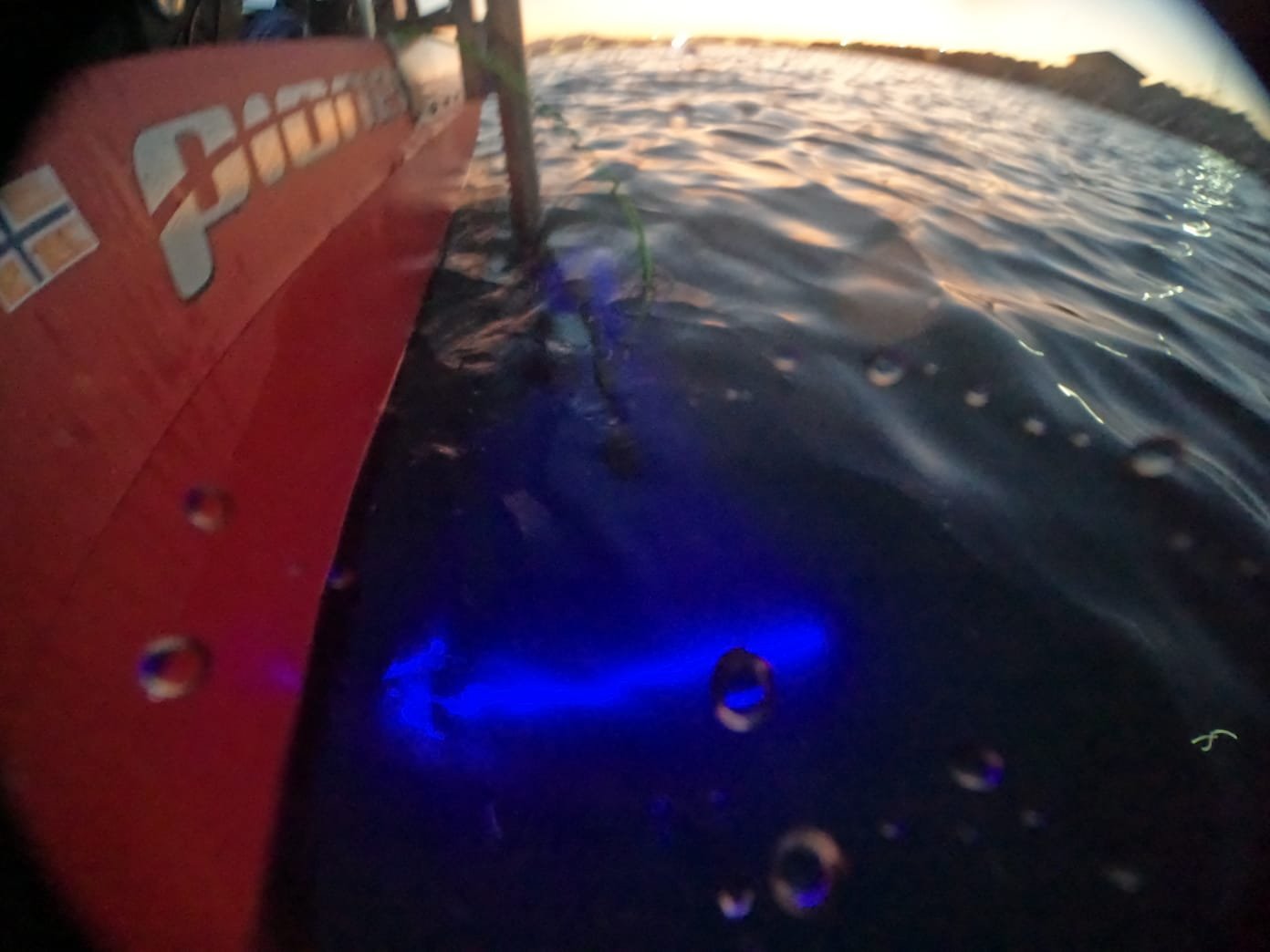
Project eNiGMA
Developing advanced robotic and remote-sensing technologies for underwater archaeological exploration and documentation.
Our Commitment to Cultural Heritage
Ilios Remote Sensing partners with the Hellenic Archaeological Exploration Society (HAES), a U.S. 501(c)(3) nonprofit organization with operations in Greece, to provide technology, equipment, and technical expertise in support of archaeology, scientific research, museums, and historic preservation.
Our commercial reality-capture work helps make these cultural heritage initiatives possible. Current projects include archaeological documentation in Greece, support for underwater archaeological research, museum digitization, and the development of new technologies for exploring and documenting submerged cultural heritage.