
3D Laser Scanning for Industrial & Specialized Applications
If It Can Be Seen, It Can Probably Be Scanned.
Not every reality-capture project fits neatly into a single industry. Ilios Remote Sensing provides high-precision terrestrial laser scanning for specialized, unusual, and technically challenging applications.
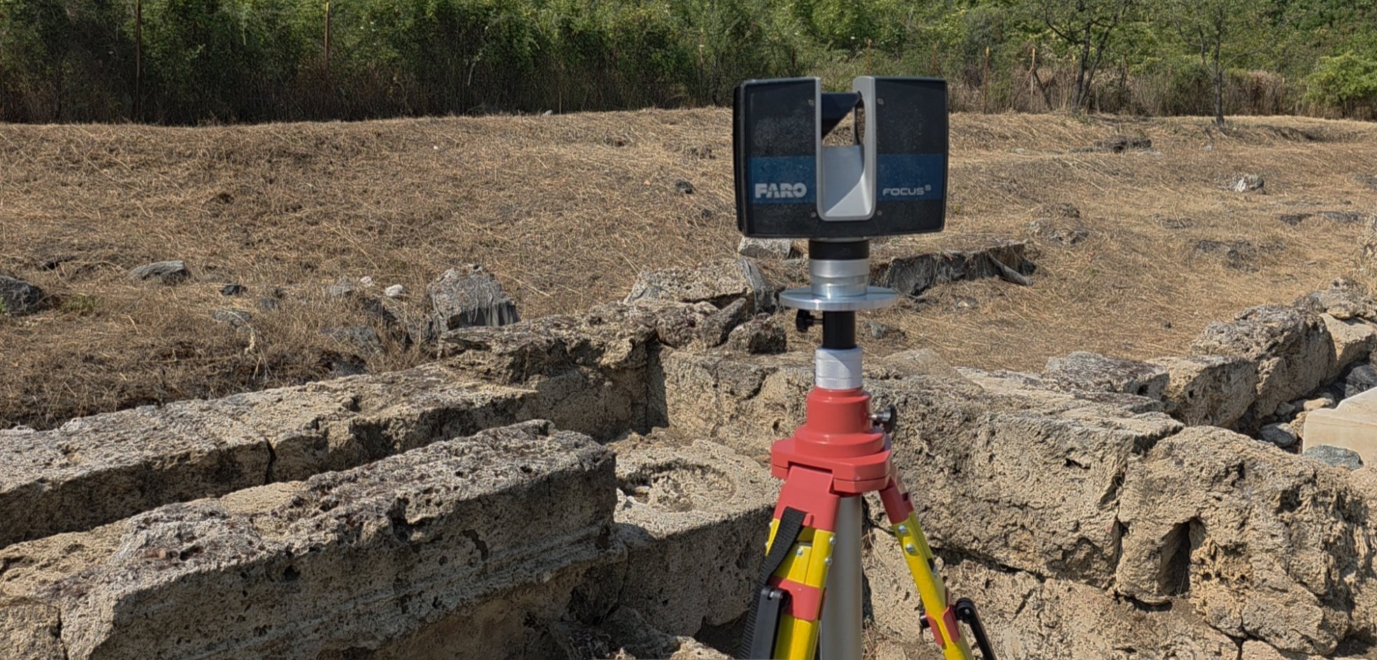
Using the FARO Focus S70 terrestrial laser scanner, we can create dense 3D records of buildings, structures, equipment, objects, sites, and environments for measurement, documentation, analysis, visualization, and long-term reference.
If you have a physical space or object that needs to be accurately captured in three dimensions, talk to us about the application and the information you need from it.

High-Precision Terrestrial Laser Scanning
Terrestrial laser scanning captures millions of spatial measurements to create a dense three-dimensional representation of the existing environment.
Unlike conventional measurement methods that record individual dimensions, laser scanning captures comprehensive geometry across the visible environment, creating a dataset that can be revisited and measured long after the site visit is complete.
The resulting registered point cloud can support CAD and 3D modeling, dimensional analysis, documentation, visualization, comparison, and other project-specific workflows.

Existing Conditions & As-Built Documentation
Capture buildings, structures, facilities, and equipment as they actually exist rather than relying on drawings that may be incomplete or outdated.
Capture ships and buildings throughout the construction process to ensure tolerances are met.
Laser scanning can support renovation, retrofit, dimensional verification, CAD development, facility documentation, and long-term records.
See Architecture & Construction Services for conventional AEC projects.
Industrial, Mechanical & Specialized Environments
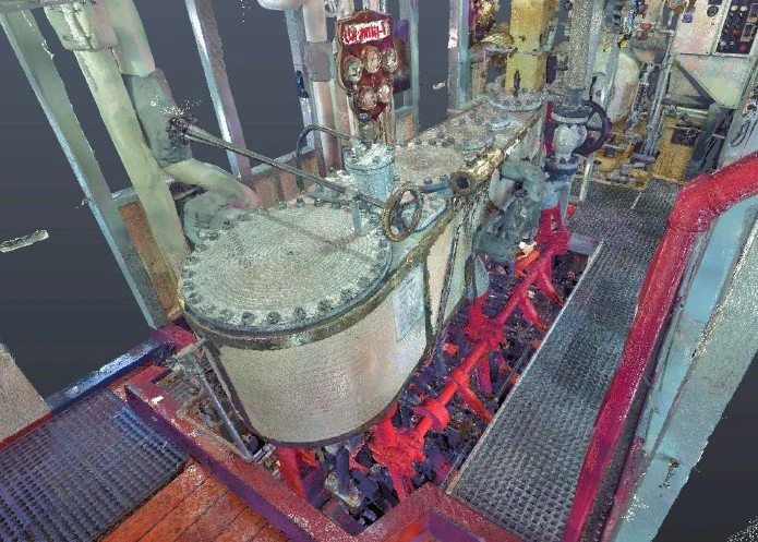
Complex equipment and machinery-dense environments are often difficult to document using conventional measurement methods.
Terrestrial laser scanning can capture equipment relationships, clearances, structural geometry, piping, machinery spaces, and surrounding conditions for planning, fabrication, retrofit, installation, or documentation.
For vessel and shipyard applications, see Maritime Laser Scanning Services.
Historic, Archaeological & Cultural Heritage
Laser scanning can create a detailed three-dimensional record of historic structures, archaeological sites, monuments, artifacts, and other culturally significant environments without physical contact.
These datasets can support documentation, research, conservation, visualization, public interpretation, and long-term comparison as sites change over time.
Monitoring & Change Detection
Repeat laser scanning can provide a three-dimensional record of change over time.
When scans are captured from repeatable reference locations, datasets from different dates can be compared to identify movement, deformation, deterioration, construction progress, material removal, or other physical changes.
Applications can include structures, shipping hulls, construction sites, historic resources, industrial environments, and other assets where dimensional change is important.
Visualization, Simulation & Digital Environments
Point-cloud and 3D scan data can also provide a geometric foundation for visualization, simulation, digital environments, virtual production, research, and other emerging applications.
If your project requires an accurate digital representation of a real-world environment, we can discuss the appropriate capture method and data deliverables.
Condition & Incident Documentation
Laser scanning can create a detailed spatial record of existing conditions following damage, failure, or other significant events, providing a dataset that can later be reviewed and measured.
Have an Unusual Application?
Some of the most interesting uses of 3D laser scanning don't fit neatly into a predefined service category.
If you need to capture the geometry of a structure, site, piece of equipment, physical environment, or other real-world subject, tell us what you're trying to accomplish.
Have a measurement or documentation problem that doesn't fit neatly into a standard category? We'll help determine whether terrestrial laser scanning is the appropriate technology and what deliverables would be useful for your project.