
Laser Scanning Services for the Maritime Industry
Measure the vessel once. Engineer from anywhere.
Ilios Remote Sensing provides high-precision 3D laser scanning for vessels, shipyards, naval architects, marine engineers, fabricators, and vessel operators.
Using terrestrial laser scanning, we capture hulls, decks, machinery spaces, piping, equipment, and structure as accurate 3D datasets that can be used throughout repair, retrofit, maintenance, fabrication, and documentation workflows.
By capturing existing conditions before work begins, engineering and fabrication can move off the vessel and into the office or shop—reducing repeat vessel visits, measurement errors, rework, and valuable time in drydock.
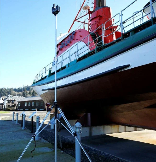
Reduce Vessel & Drydock Time
Much of a vessel can be captured dockside or while it remains operational. Engineers, naval architects, contractors, and fabricators can then work from the resulting 3D data without requiring continuous access to the vessel.
Piping, mechanical components, structural elements, equipment foundations, and other retrofit work can be designed and prefabricated before the vessel enters drydock. This results in…
Less time measuring aboard the vessel
More fabrication completed off-site
Less work required during the drydock window
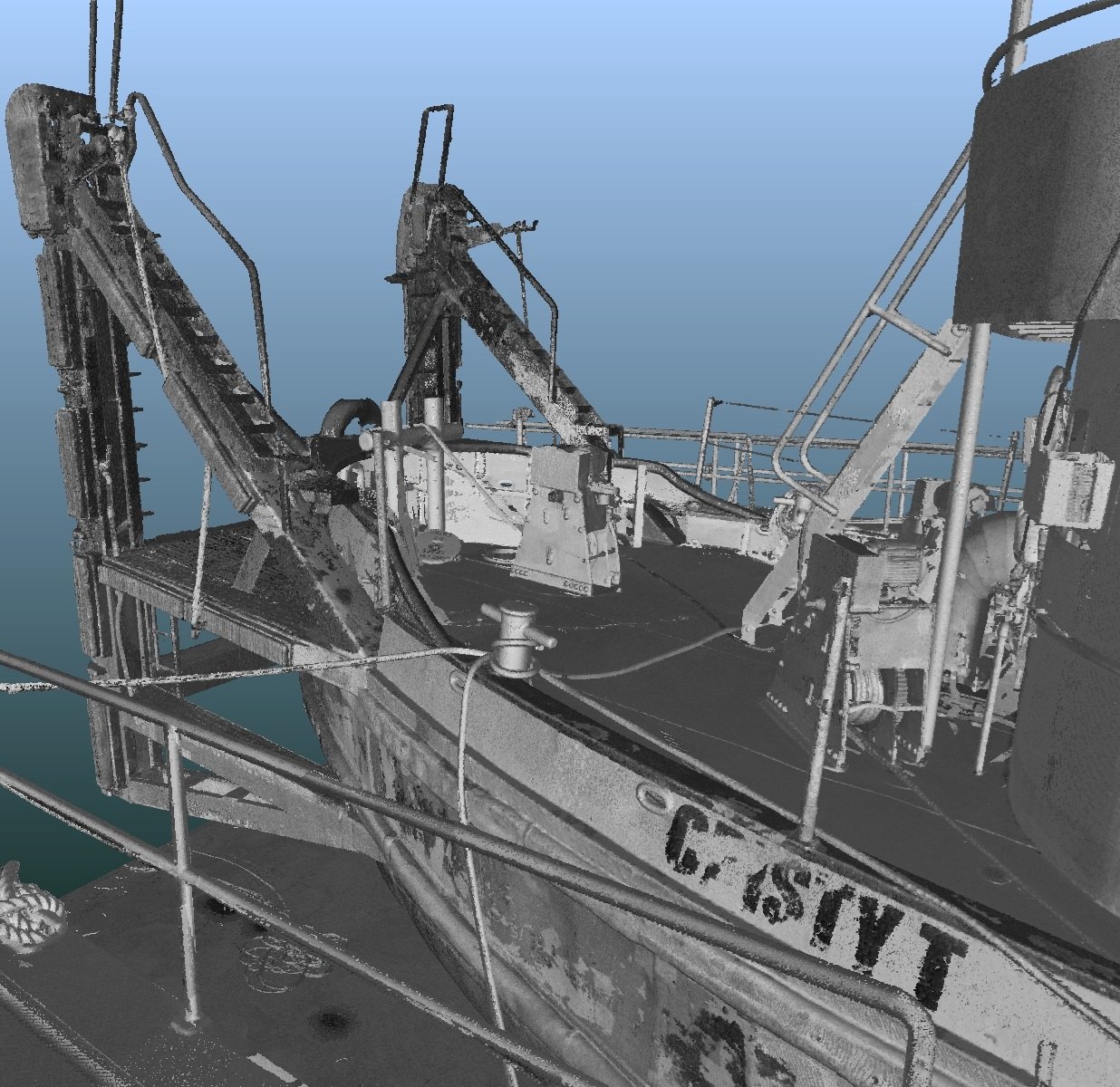
Retrofit, Repair & Fabrication
Accurate existing-condition data provides engineers and fabricators with the dimensional information needed to design modifications around the vessel as it actually exists—not simply as it appears on potentially outdated drawings.
3D laser scanning can support:
Retrofit and repair planning
Equipment replacement and installation
Piping modifications and routing
Structural modifications
Equipment foundations and mounting
Reverse engineering of existing components
Dimensional verification
Clearance verification
Clash detection
Off-site fabrication
Installation planning
As-built verification
Components can be designed and fabricated against captured vessel geometry before installation, helping reduce field fitting, measurement errors, rework, and time aboard the vessel.
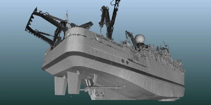
Drydock Planning & Condition Documentation
Drydock time is expensive. Reality capture allows significant portions of engineering, planning, and fabrication to begin before the vessel enters the yard.
A comprehensive scan also creates a dimensional record of vessel condition at a specific point in time.
Repeat scanning during future maintenance periods can be compared with previous datasets to identify changes in hull geometry, structure, equipment, or other areas of interest.
This creates the opportunity to build a long-term digital record of the vessel throughout its operational life.
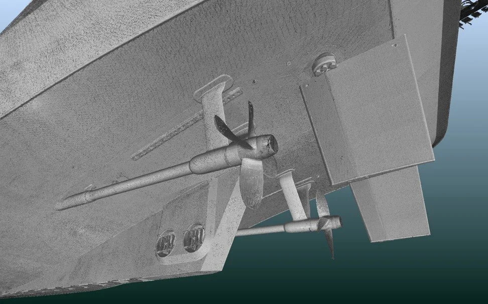
Engineering & Remote Collaboration
A single comprehensive scan can create a shared existing-condition dataset for naval architects, engineers, shipyards, subcontractors, equipment vendors, and fabricators.
Project teams can inspect, measure, design, and coordinate from the same dimensional information—even when located in different cities or countries.
This can reduce repeated vessel visits and allows engineering and design work to continue while the vessel remains in service.
Potential contractors and vendors can also familiarize themselves with vessel spaces before arriving aboard, supporting project planning, estimating, and the RFP process.
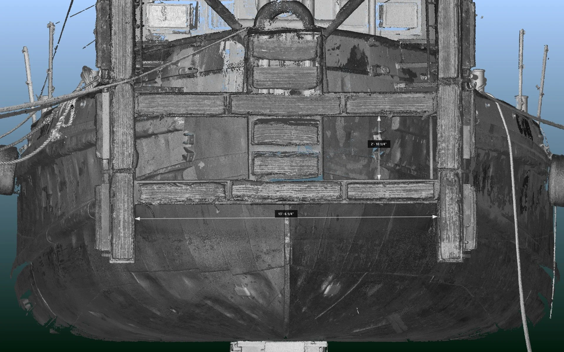
Update Legacy Drawings & Create Accurate As-Builts
Vessels are modified throughout their operational lives. As a result, original drawings may no longer accurately represent existing conditions.
3D laser scanning provides a current dimensional record that can support:
Updated General Arrangement drawings
Existing-condition drawings
2D CAD drawings
3D CAD models
Equipment and machinery layouts
Retrofit drawings
Structural documentation
Final as-built documentation
Following completion of a project, the vessel can be rescanned to document the completed installation and provide accurate as-built information for future maintenance and modifications.
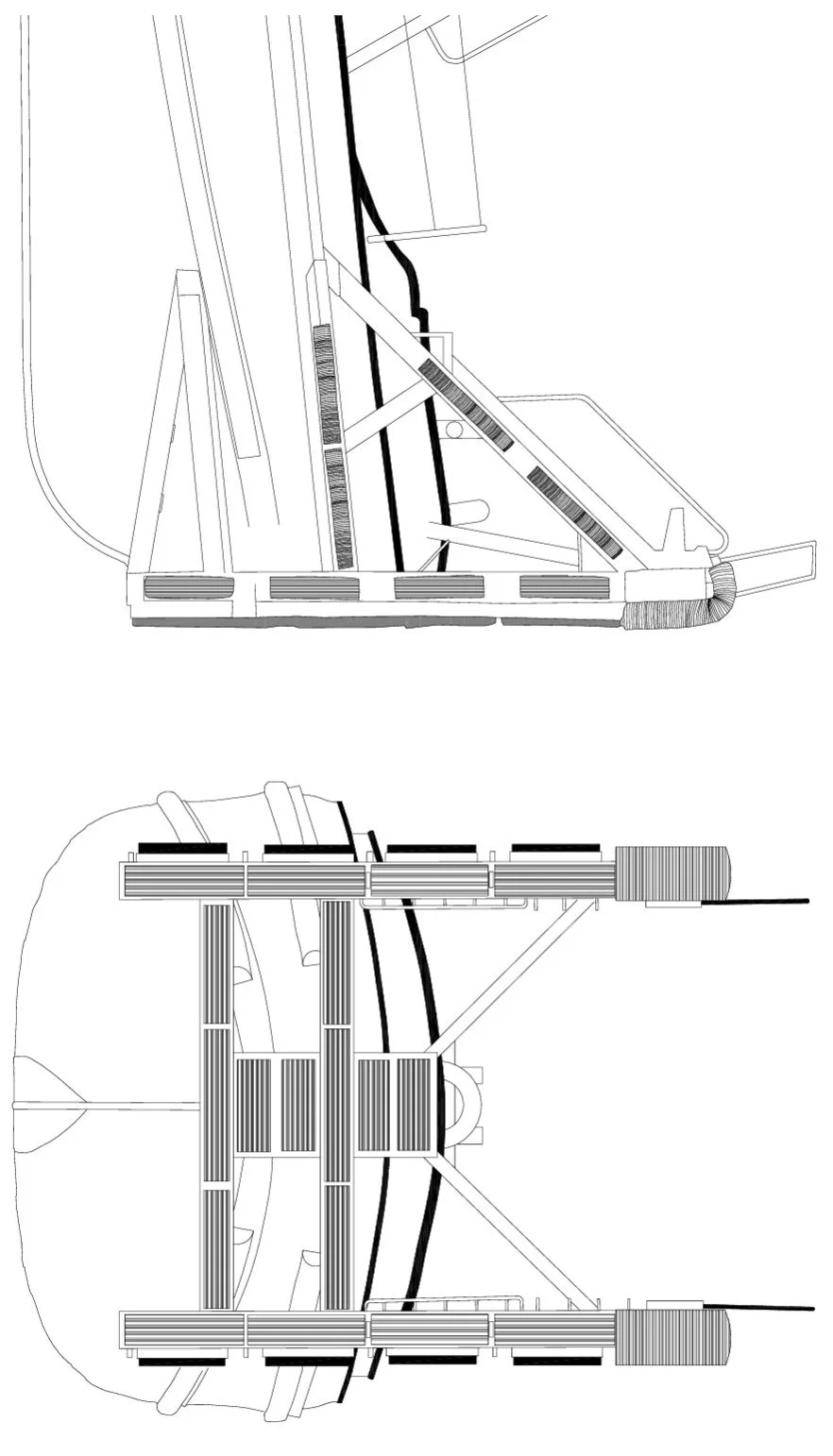
Maritime Deliverables
Deliverables are tailored to the requirements of each project and can include:
Registered 3D point clouds
Existing-condition datasets
2D CAD drawings
3D CAD models
General Arrangement drawing updates
Dimensional verification
Equipment and machinery layouts
Clash-detection datasets
Retrofit and fabrication reference data
As-built documentation
360° visual documentation
Fly-through visualizations
The objective is not simply to produce a point cloud, but to provide usable information appropriate to the engineering, fabrication, maintenance, or documentation requirements of the project.
High-Precision Terrestrial Laser Scanning
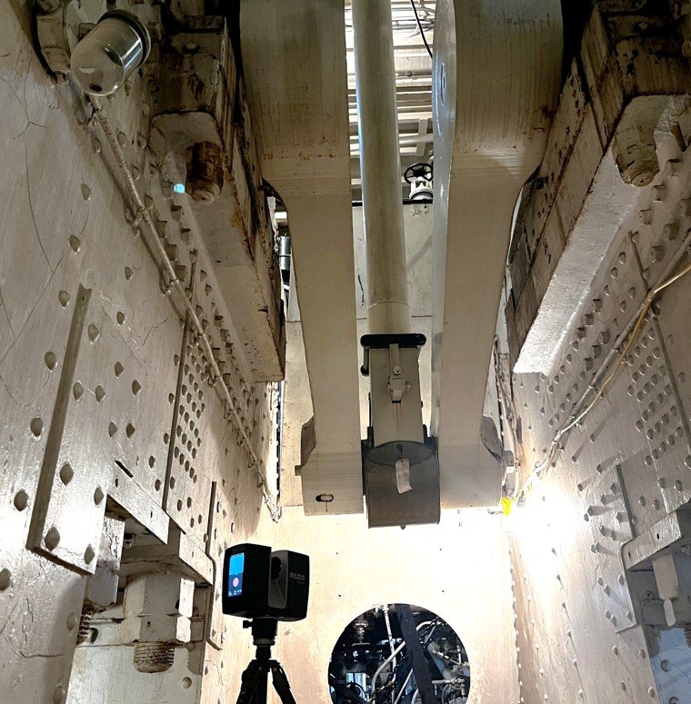
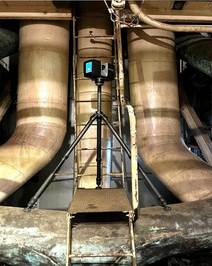
Ilios Remote Sensing uses the FARO Focus S70 terrestrial laser scanner for high-density 3D measurement of complex vessel environments.
The scanner captures millions of spatial measurements to create a detailed three-dimensional representation of hull surfaces, machinery spaces, piping, equipment, structure, and other existing conditions.
Terrestrial laser scanning is particularly valuable aboard vessels because complex geometry, restricted access, dense machinery, piping, and limited clearances can make conventional manual measurement difficult and time-consuming.
Safety & Confined Spaces
Reduce Personnel Exposure in Difficult-to-Access Areas
Terrestrial laser scanning can rapidly document confined, difficult-to-access, or potentially hazardous spaces, reducing the time personnel must spend collecting manual measurements and minimizing the need for repeated entry.
Interactive virtual tours provide a complementary visual record, allowing crew members, contractors, and technicians to become familiar with documented spaces before entering them and to revisit those spaces remotely.
Captured data and virtual environments can support:
Clearance and access documentation
Remote measurement and planning
Trip-hazard documentation
Emergency and rescue planning
Fire-safety mapping
Remote review of difficult-to-access spaces
Crew and contractor familiarization
Equipment and machinery identification
Access and egress familiarization
Supplemental training applications
Interactive tags can identify equipment, access points, safety features, or other information and link users to relevant procedures, manuals, or training materials.
Once captured, the environment can be revisited digitally without requiring personnel to repeatedly enter the physical space.
Understand the space before you enter it.
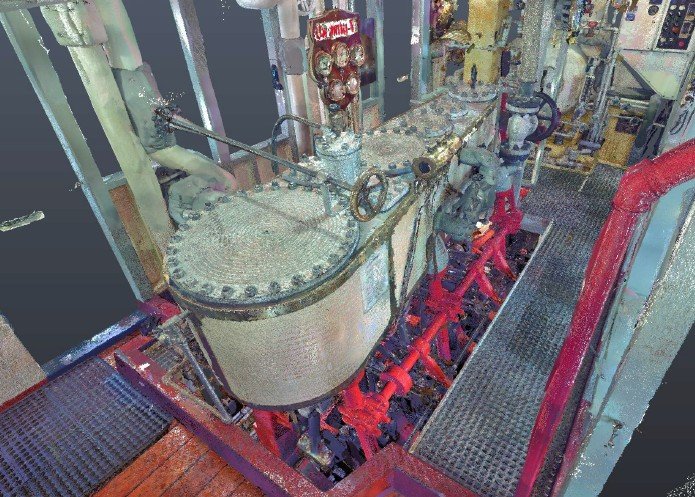
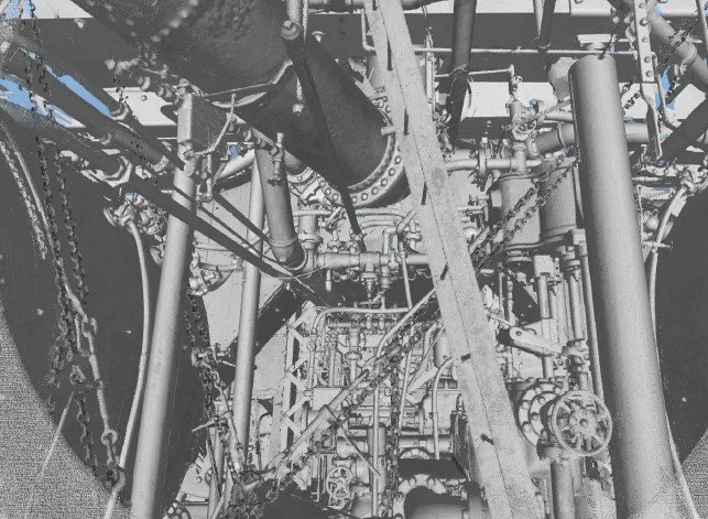
Ilios Remote Sensing captured the machinery spaces of the historic Fireboat Duwamish in Seattle, creating a detailed 3D record of equipment, structure, piping, and existing conditions within a complex and confined vessel environment.
The project demonstrates the ability of terrestrial laser scanning to document machinery-dense spaces where conventional manual measurement and documentation can be difficult.
The resulting 3D dataset provides a permanent digital record that can support documentation, preservation, planning, and virtual access to the vessel.
Example Project: Fireboat Duwamish
Vessel Condition & Insurance Documentation
A comprehensive 3D scan creates a timestamped digital record of vessel geometry, equipment, machinery spaces, and other existing conditions.
This information can support:
Vessel condition documentation
Insurance records
Damage documentation
Repair planning
Pre- and post-project comparisons
Documentation of major modifications
Restoration planning
When repeat scans are available, datasets can be compared to help document physical changes over time.
Historic Vessel Preservation
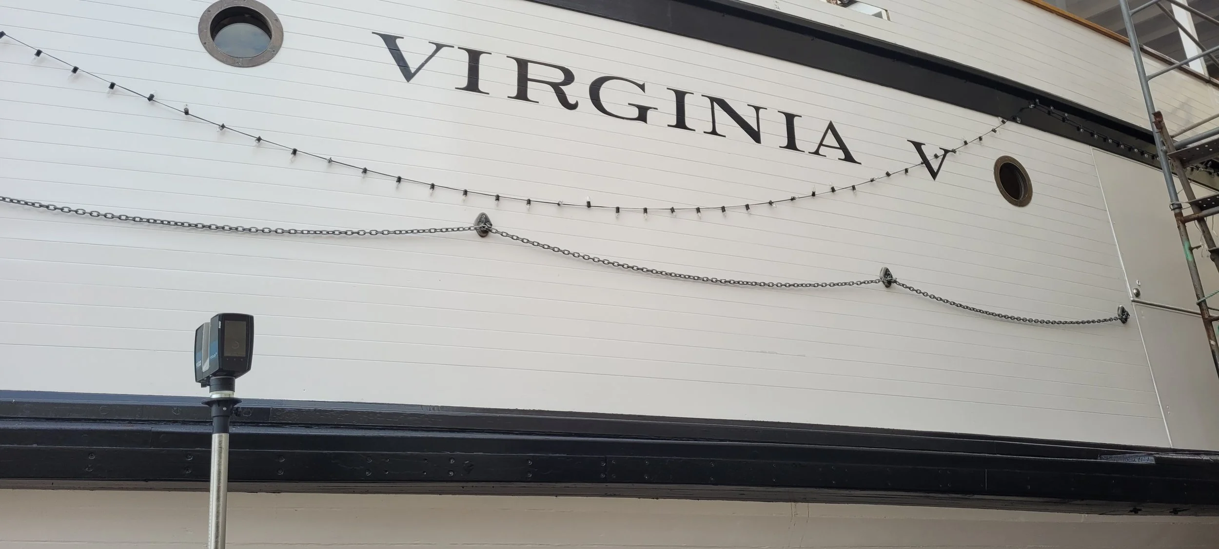
High-resolution 3D documentation can create a permanent digital record of historically significant vessels.
Hull geometry, machinery spaces, equipment, structure, and other features can be captured before they are modified, restored, deteriorated, or lost.
These datasets can support preservation, restoration, research, education, museum interpretation, and virtual access while retaining an accurate record of the vessel as it existed when documented.
Planning a Repair, Retrofit or Drydock Period?
Tell us what you need to measure, modify, fabricate, or document.
We'll recommend an appropriate capture strategy and deliverables based on the vessel, project requirements, accuracy requirements, access, schedule, and budget.