
Existing Conditions Documentation:
When to Use 3D Laser Scanning, iGUIDE, or Both
Renovation, adaptive reuse, tenant improvement, and retrofit projects all begin with the same fundamental question:
What actually exists today?
Existing drawings can be incomplete, outdated, or simply unavailable. Buildings also change over time as walls move, equipment is replaced, utilities are rerouted, and undocumented modifications accumulate.
Reality capture provides several ways to document those conditions. But not every project requires the same technology or level of detail.
At Ilios Remote Sensing, two of the tools we use are terrestrial 3D laser scanning and iGUIDE. The right approach depends on what information the project team actually needs.
When Terrestrial Laser Scanning Makes Sense
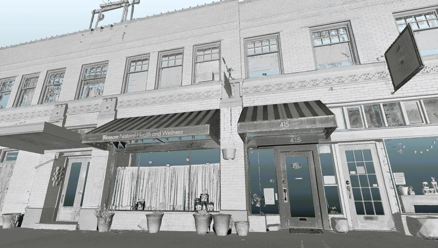
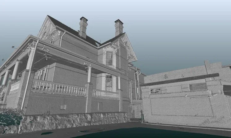
Terrestrial laser scanning captures millions of measurements from the surrounding environment and combines them into a three-dimensional point cloud. This is particularly useful when the geometry itself matters.
Complex interiors, structural elements, mechanical spaces, irregular surfaces, historic buildings, industrial environments, and areas where conventional field measurements would be difficult or time-consuming can all be strong candidates for laser scanning.
The resulting point cloud provides a detailed spatial record that can be referenced after the fieldwork is complete.
That can reduce an important problem on renovation projects: discovering later that an additional measurement was needed after everyone has already left the site.
When iGUIDE May Be the Better Tool
Not every existing-conditions project requires a dense point cloud.
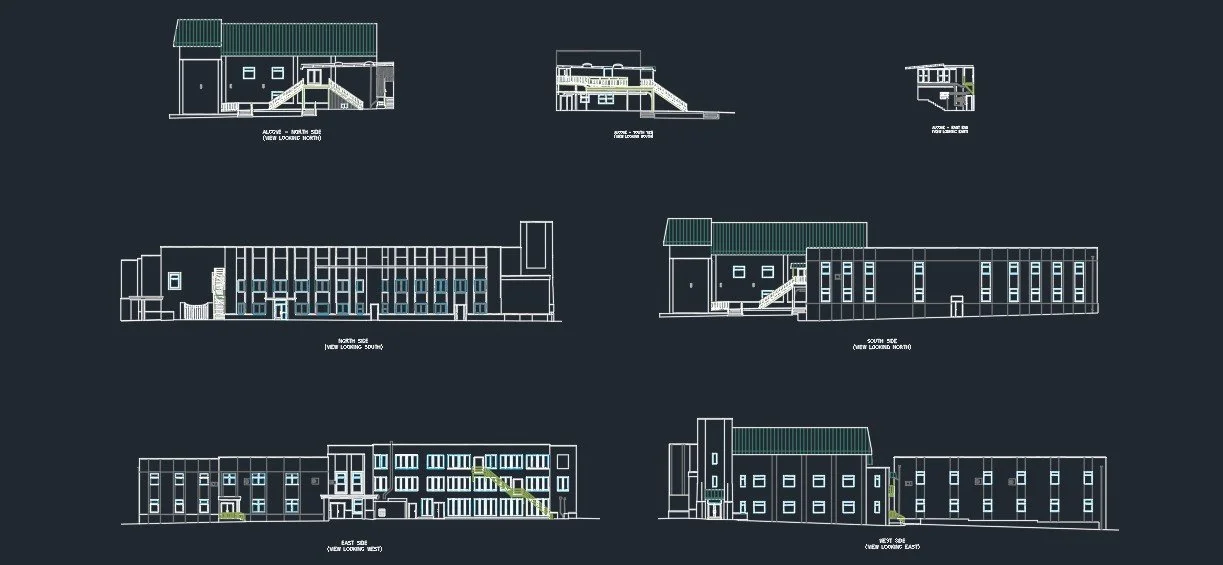
For projects where the primary need is floor plans, visual documentation, measurements, and CAD-ready building information, iGUIDE can provide a more streamlined approach.
An iGUIDE capture also creates an interactive visual record of the property. Instead of looking only at drawings, members of the project team can virtually return to the building and examine rooms and surrounding conditions remotely.
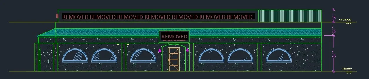
Depending on the selected deliverable package, this information can also be used to produce CAD and Revit deliverables for downstream design work.
This can make iGUIDE particularly useful for residential, commercial, and other relatively conventional building environments where the documentation requirements do not justify terrestrial laser scanning.
When Using Both Makes Sense
The choice isn't necessarily one technology or the other.
A project may require high-detail terrestrial scanning in areas where geometry is complicated or particularly important, while iGUIDE provides broader visual documentation and building-level context.
For example, a renovation project might use terrestrial laser scanning to capture a complicated mechanical area while using iGUIDE to document the remainder of the building.
The objective isn't to use the most sophisticated technology everywhere.
The objective is to capture the information the project actually requires.
Planning Your Next Project?
Every project has different documentation requirements. Ilios Remote Sensing can help determine the right reality-capture approach for your project and the deliverables your team needs. See more about our services here.